Wind gusts and brief tornadoes threaten New Orleans ahead of Election Day
A strong cold front is expected to arrive early Wednesday morning, bringing damaging winds after a wet Halloween weekend.
By Tessa Cooper ·
New Orleans residents are facing two distinct weather events in the coming week. The first, occurring over the weekend, involves scattered showers and isolated thunderstorms. The second, arriving Tuesday night into Wednesday, carries the primary risk of wind damage and brief spin-up tornadoes.
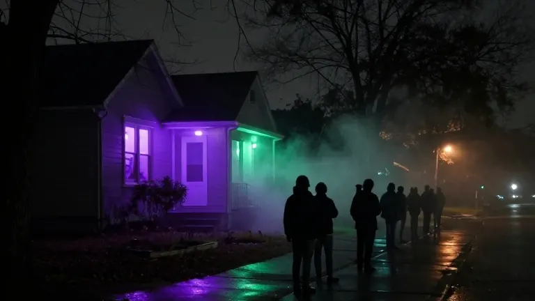
Rain chances begin to rise around noon Saturday and persist into Sunday. Meteorologists do not expect these storms to become severe, but the intermittent precipitation may interrupt trick-or-treating and other outdoor activities. Conditions are forecast to improve by Monday as drier weather returns before the next system arrives.
The more significant weather event begins late Tuesday night. A line of storms is expected to develop ahead of a strong cold front moving through early Wednesday morning. While heavy rainfall is not the main concern because the storm line should move through quickly, the timing aligns with Election Day.
The strongest weather is likely to arrive late enough to avoid interfering with voters heading to the polls. The primary threats during this window are damaging wind gusts and brief tornadoes embedded within the storm line. Tuesday is expected to be warmer than average, driven by abundant moisture flowing north from the Gulf.
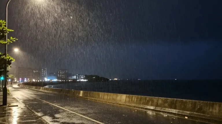
Temperatures will drop behind the front, returning to near average or slightly below average levels on Wednesday and Thursday. The persistent east wind has been pushing water toward the coast for several days. Combined with king tides, this setup will likely produce additional minor coastal flooding during high tide through the weekend, particularly along east-facing shores.
Boaters should prepare for rough conditions offshore. East winds of 15 to 20 knots will create choppy seas of 3 to 6 feet across the open Gulf. Small craft are advised to exercise caution before heading out.
Forecasters note that the weekend storm threat appears limited. Attention will turn to Tuesday night and Wednesday as the stronger cold front approaches. Readers are advised to monitor updated timing and forecasts for changes in the weather pattern.